Description
Argosdyne EasyMapper CS C2
Argosdyne EasyMapper-CS C2 – Professional Aerial Mapping Drone
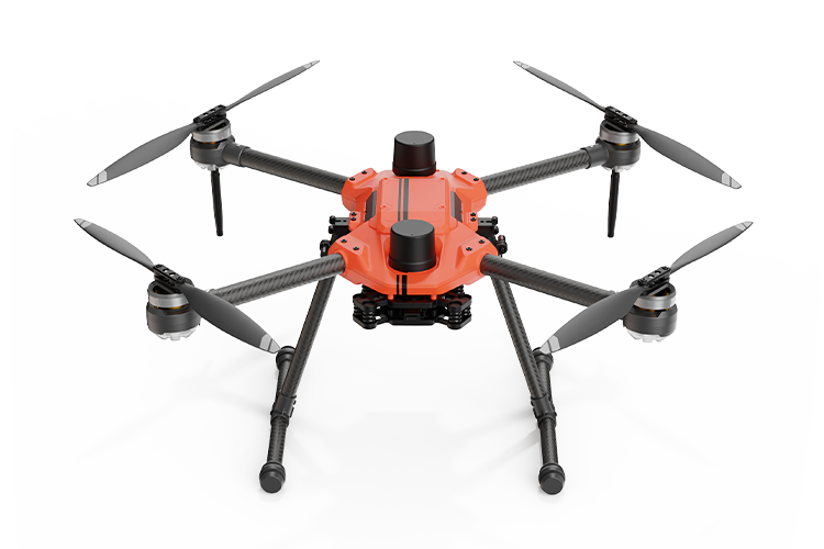
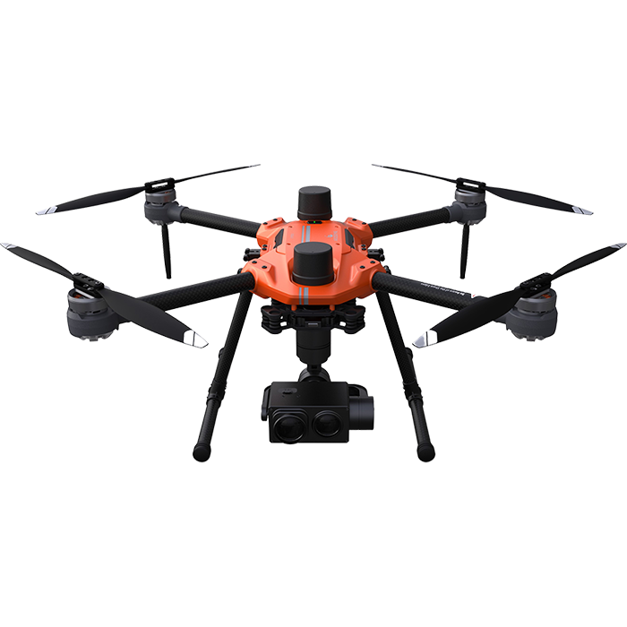
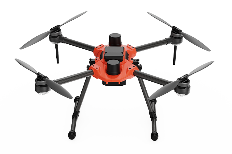
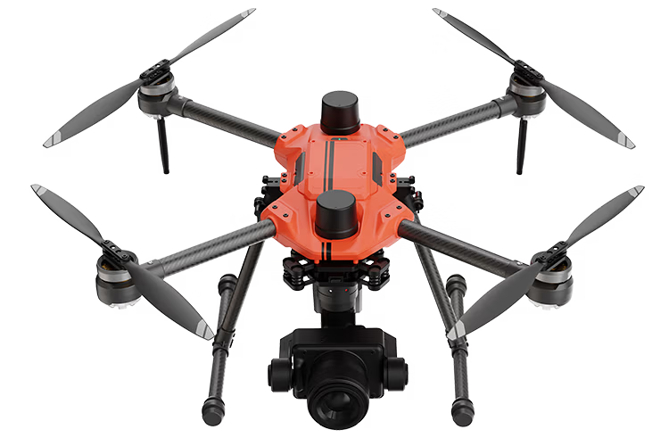
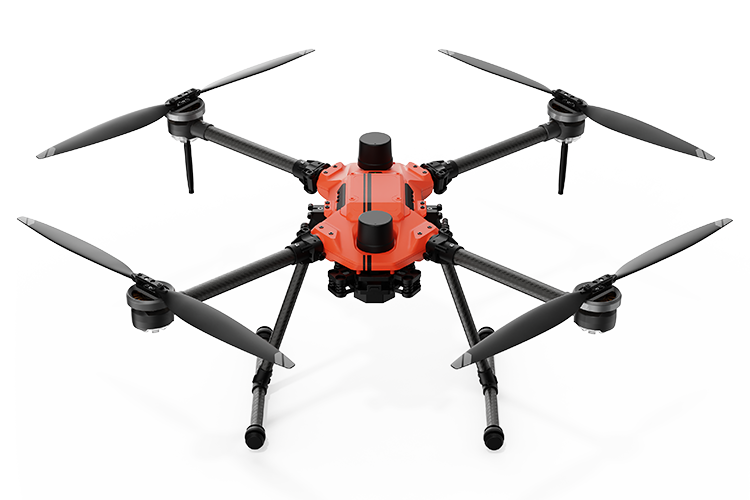
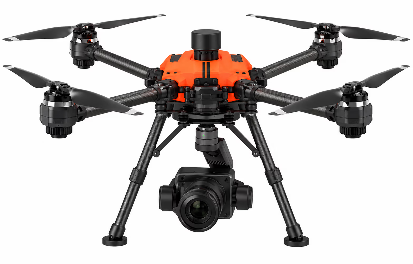
The Argosdyne EasyMapper-CS C2 is a professional aerial mapping system designed for high-precision surveying, construction, agriculture, and environmental monitoring. Powered by the AQUILA 2 drone platform and a Sony ILX-LR1 61MP camera, the EasyMapper-CS captures exceptionally detailed aerial imagery for accurate mapping and 3D modeling. With a ground sampling distance (GSD) of approximately 1.57 cm at 100 meters above ground level, over 50 minutes of flight time, and a transmission range of up to 10 km, this lightweight system delivers exceptional performance for demanding mapping applications. Its IP53-rated aircraft and interchangeable lens capability provide the versatility needed for a wide range of professional UAV operations.
Key Features:
- 61MP High-Resolution Imaging: Sony ILX-LR1 camera captures exceptional detail for aerial surveying, mapping, and photogrammetry.
- Precision Aerial Mapping: Achieves approximately 1.57 cm GSD at 100 meters AGL for detailed terrain mapping and 3D modeling.
- Extended Flight Performance: Over 50 minutes of flight time and up to 10 km transmission range for efficient coverage of large areas.
- Lightweight, Weather-Resistant Design: Weighs under 4 kg including the camera, with an IP53-rated aircraft for demanding outdoor operations.
- Versatile Imaging Applications: Interchangeable lens capability supports mapping, inspection, surveillance, and environmental monitoring.