Argosdyne EasyMapper CS C3 – NDAA Compliant (RHL-006)

Log in to view prices
Part Number: RHL-006Category: Tags:

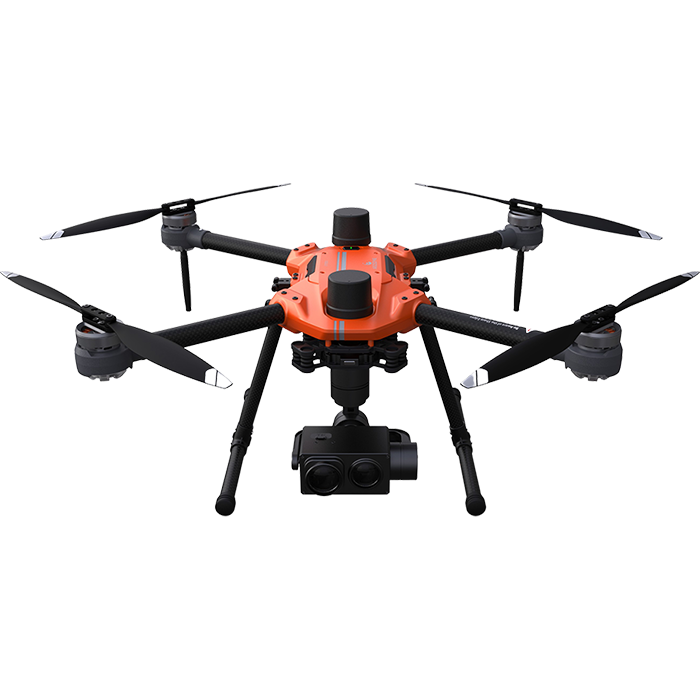
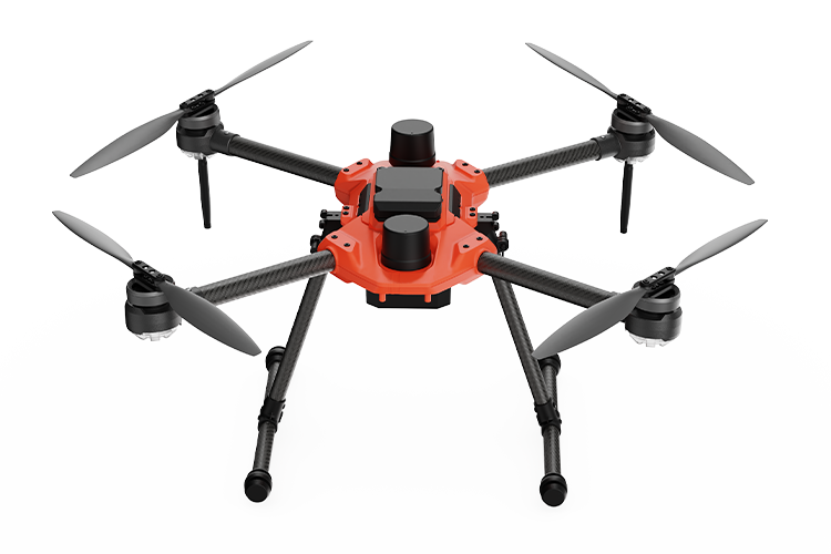
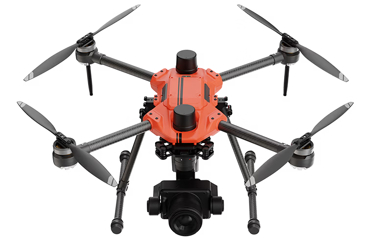
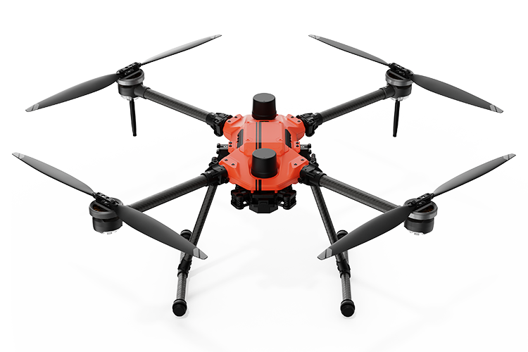
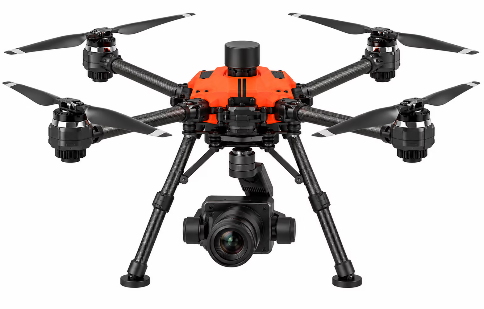
The Argosdyne EasyMapper-CS C3 is a professional aerial mapping drone system designed for high-resolution surveying, construction site mapping, agriculture, and environmental monitoring. Built around the AQUILA 3F aircraft and powered by a Sony ILX-LR1 61MP camera, the EasyMapper-CS C3 delivers exceptional imaging detail for accurate aerial mapping and 3D modeling.

NDAA Compliant
SKU: RHL-006
Category:
Tags:

Description

Argosdyne EasyMapper CS C3

Argosdyne EasyMapper-CS C3 – Professional Aerial Mapping Drone

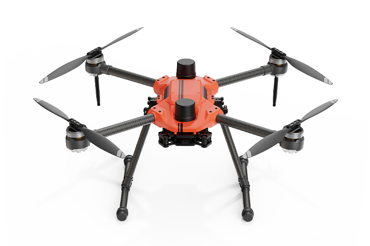
The Argosdyne EasyMapper-CS C3 is a professional aerial mapping drone system designed for high-resolution surveying, construction site mapping, agriculture, and environmental monitoring. Built around the AQUILA 3F aircraft and powered by a Sony ILX-LR1 61MP camera, the EasyMapper-CS C3 delivers exceptional imaging detail for accurate aerial mapping and 3D modeling. Featuring a ground sampling distance (GSD) of approximately 1.57 cm at 100 meters above ground level, over 50 minutes of flight time, and a transmission range of up to 10 km, this advanced platform provides efficient coverage for demanding mapping operations. Designed for EU Class C3 operations, the IP53-rated system combines precision imaging, automated flight planning, and versatile lens options for professional UAV applications.

Key Features:

  • 61MP High-Resolution Imaging: Sony ILX-LR1 camera captures exceptional detail for surveying, photogrammetry, and aerial mapping.
  • Precision Mapping Performance: Achieves approximately 1.57 cm GSD at 100 meters AGL for detailed terrain mapping and 3D modeling.
  • Extended Flight Capabilities: Over 50 minutes of flight time and up to 10 km transmission range for large-area mapping missions.
  • EU Class C3 Platform: AQUILA 3F aircraft designed for C3 operations, featuring IP53 weather resistance.
  • Versatile Imaging System: Interchangeable lenses and real-time data transmission support mapping, inspection, agriculture, and environmental monitoring.
Specifications


Manufacturer Argosdyne
Model EasyMapper-CS C3
System Type Professional Aerial Mapping Drone
Aircraft Platform AQUILA 3F
Camera Sony ILX-LR1
Camera Resolution 61 Megapixels
EU Class C3 (Designed for C3 Operations)
Country of Manufacture South Korea

Flight Performance

Flight Time Over 50 Minutes
Transmission Range Up to 10 km
Ingress Protection IP53
Aircraft Weight 2.17 lbs.

Camera & Imaging

Camera Model Sony ILX-LR1
Sensor Resolution 61 MP
Video Resolution 3840 × 2160 (4K)
Ground Sampling Distance 1.57 cm at 100 m AGL
Imaging Applications Aerial Mapping, Surveying, Inspection
Lens Design Low-Dispersion (LD) Optics
Lens Coating Nano-Coating
Lens Configuration Interchangeable Lens
Camera Assembly Weight 700 g (Per Brochure)

Mapping & Data Capabilities

Flight Planning Automated
3D Modeling Supported
Real-Time Monitoring Supported
Data Transmission Long-Range Link
Ground Sampling Distance Sub-2 cm at 100 m AGL

Package Contents

AQUILA 3F Aircraft 1×
Rhythm1 Camera 1×
AVIATOR Controller 1×
Hard Case 1×
Propellers 4×
Batteries 2×
Battery Charger 1×

NDAA Compliant

What Does NDAA Compliant Mean?

NDAA compliance refers to meeting applicable requirements of the National Defense Authorization Act (NDAA), a series of U.S. federal laws that include restrictions on certain telecommunications, surveillance, and unmanned aircraft systems (UAS) used in government operations.

For drones, NDAA compliance generally means the aircraft and relevant components are not subject to applicable federal restrictions involving certain prohibited manufacturers or technologies.

Why NDAA Compliance Matters

NDAA compliance is particularly important for government agencies, public safety organizations, contractors, and other professionals operating under federal procurement or funding requirements.

Key Benefits:

  • Government Procurement: Helps organizations evaluate whether a drone meets applicable federal purchasing restrictions.

  • Supply Chain Transparency: Encourages review of manufacturers, components, and technology sources.

  • Public Safety Applications: Supports purchasing decisions for law enforcement, fire departments, and emergency response teams.

  • Federal Contracting: Helps contractors identify equipment that may be eligible for use under applicable government contracts.

  • Long-Term Planning: Helps organizations assess potential procurement and regulatory risks.

Important Compliance Information

NDAA compliance is not a single universal certification. Requirements vary depending on the applicable law, agency, funding source, and intended use.

A drone described as NDAA compliant is not automatically approved for all government purchases, included on the Blue UAS Cleared List, or compliant with every federal or state requirement.

RHLDrones recommends verifying the compliance status of each aircraft, payload, and configuration before purchase. Manufacturer documentation and applicable procurement requirements should be reviewed to determine eligibility for a specific application.